PRO*ACT Crop Update: Tropical activity continues in the face of hurricane
PRO*ACT Crop Update: Tropical activity continues in the face of hurricane

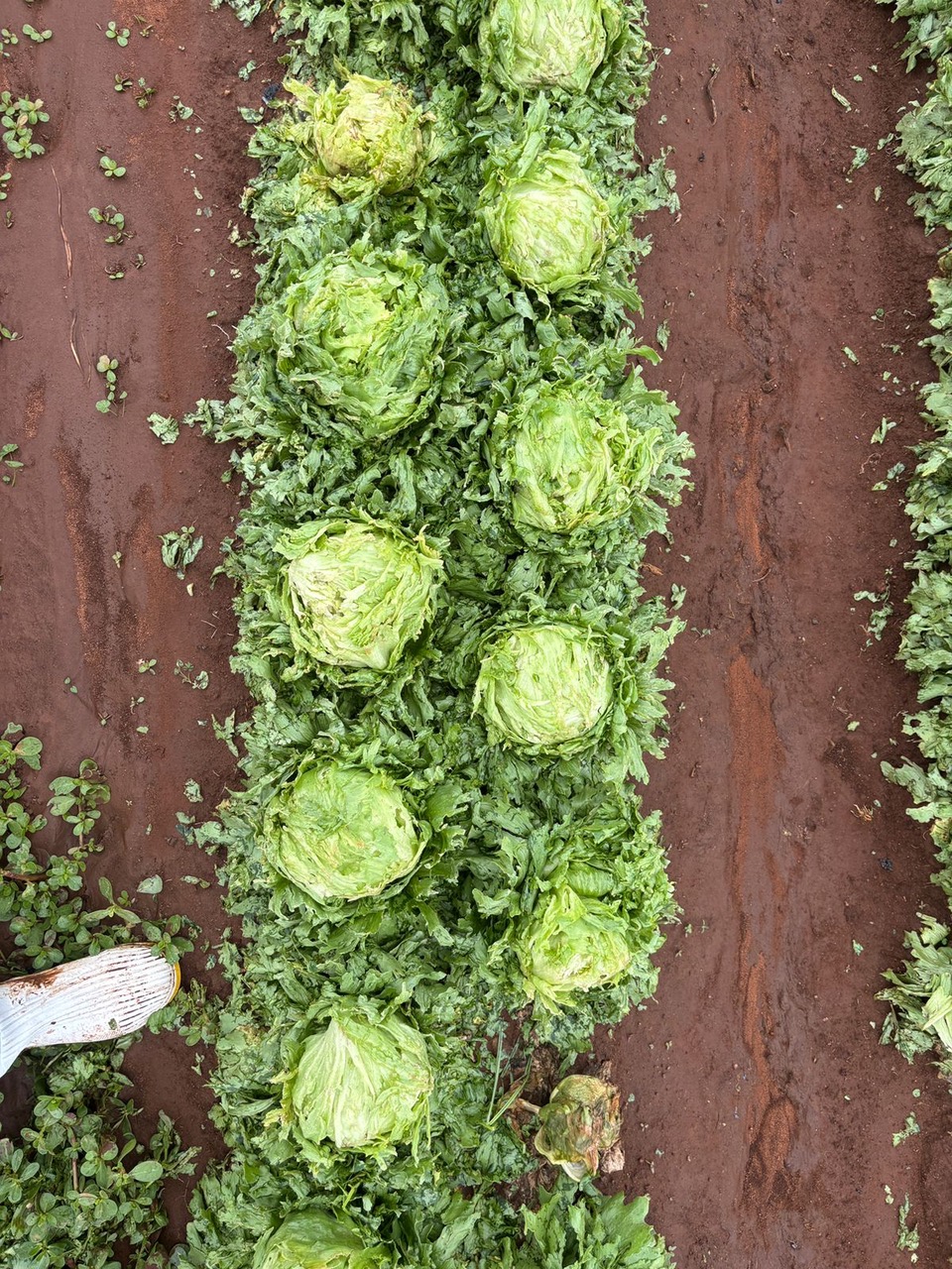 Tropical activity continues in the Eastern Pacific as hurricane Erick forms off the coast of Southern Mexico. Erick is forecast to reach major hurricane strength before making landfall in Southwestern Mexico near the states of Oaxaca and Guerrero early Thursday. Erick will begin to weaken after making landfall, moving north into Michoacan, Colima and Jalisco. Erick will bring powerful and heavy rains across Southwestern Mexico over the next few days. These regions have already received significant precipitation and hail from previous tropical systems with extensive damage reported in some iceberg and romaine fields. Numerous crops will be in the line of fire with Erick, depending on the track and intensity of the storm. It will take some time for growers to conduct crop assessments following the storm.
In coastal California the rollercoaster of temperatures and heavy marine layer conditions look to continue with most crops in generally good shape currently. Growers are seeing pockets of disease pressure in various fields as insect activity continues to rise. Regional supplies across the country will add to supplies however the wet weather pattern lately has impacted yields and quality across these regions. The anticipated lighter production from Mexico will increase demand for California supplies over the next few weeks at a minimum.
We will be watching the tropics and keep you up to date as to the potential impacts on the various crops and growing regions as reports become available.
With over 30 years in the produce industry, Tim Lynch started as an inspector and advanced into quality control and food safety. Beyond work, he's an avid sports fan, relishing in activities like boating, fishing, and diving. Originally from Hollywood, California, Tim attended Cal Poly SLO before making Marina his home since 1994.