Drone technology prepares for liftoff at Highland
Drone technology prepares for liftoff at Highland
Yesterday’s science fiction is today’s science fact.
This spring, the Highland Cos., based in Mulberry, FL, will begin research and development on drones expected to revolutionize the agricultural production industry.
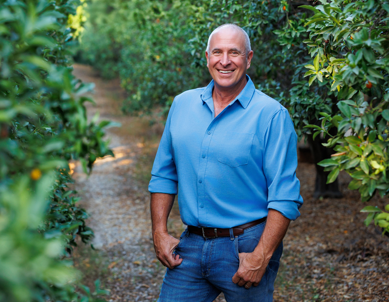
“We are an all-ag corporation. We’re taking Green Acres and mixing it with CSI,” said Chief Executive Officer Steve Maxwell.
The result of this mix is a highly sophisticated, cutting-edge technology aerial drone designed with the specific purpose of helping agricultural producers make quick, accurate business decisions based upon a host of real-time data.
 Steve Maxwell and the Precision Ag team will begin research and development testing of cutting-edge drones designed to provide agricultural producers with rapid response, cloud storable data to help them make quick business decisions about the condition of their crops. Photo courtesy of the Highland Cos.The drones are being developed in partnership with a Department of Defense contractor and software developers.
Maxwell, who will be available at the 2016 National Watermelon Convention to talk about this exciting technology, became fascinated with drones after reading an article in the Wall Street Journal last January. “Eighty percent of drones are expected to be used in agriculture,” he said about details the article contained.
While the technology has been around for the past 30 years, Maxwell said it was used by satellites that weren’t very accurate.
Three factors, he went on to say, are facilitating the development of drone technology at Highland: development of a highly sophisticated drone flying at 100 meters altitude; six cutting-edge cameras that can bear down on their targets in the field to within 3.6 centimeters; and access to the computing power of the cloud.
With the capability to store literally millions of images in the cloud “this will be very economical for farmers,” Maxwell said.
The pinpoint accuracy of the cameras on the drones will provide producers with a myriad of observational options. He provided an example of the power of the technology. “Light reflects a certain way when a plant is healthy,” he told The Produce News. “It reflects differently when the plant is sick. We can see disease before the human eye sees it.”
This ability means that a producer who is concerned about disease or pest pressures will be able to identify problems within quadrants and provide appropriate treatment to the specific site rather than having to deal with a field as a whole.
The drones can also identify soil types, commodity count and product size. As a result, producers can more easily achieve their goals of good land stewardship by reducing their carbon footprint and impact upon the land while working to reduce front-end financial inputs.
“This will assist in giving farmers updates on a weekly basis about the progress made to correct problems,” he added.
Multispectral, near-infrared and infrared cameras examine light of varying wavelengths. According to Maxwell, hyperspectral imaging looks at 270 different bands of light.
“Coming down the road, we will refine the camera systems for specific commodities,” Maxwell added.
Highland is working with the Florida Department of Agriculture to create a new certification category: Precision Ag. Maxwell said this certification, which he expects will be approved by the end of 2016, would add a new, bold category to reinforce producers’ commitments to feeding people. As envisioned, growers must meet all regulatory requirements; engage in prior planning to establish a baseline; schedule flyovers to determine pest and disease pressures; and commit to maintaining resultant data in the cloud for three growing seasons.